
About this guide: Samui Tourism Guide is an independent, ad-free guide to Koh Samui, Thailand’s island in the Gulf of Thailand. It is not the Tourism Authority of Thailand, the Samui municipality or any tour company, and it does not sell trips. Every article cites its sources. Updated November 2026.
Koh Samui covers about 229 km² in the Gulf of Thailand, some 35 km off the mainland town of Surat Thani. It has white-sand beaches on every coast, forested hills rising to 635 metres, a ring road of about 51 km and an airport of its own. Until the early 1970s it had no roads at all. Today tourism is its main industry, yet the island keeps its coconut groves, village temples and island traditions.
This site was rebuilt in November 2026 as a small set of in-depth guides. Each one answers the questions travellers actually ask, with facts checked against official and published sources, which are listed at the end of every article.
Many Samui visitors add a few nights in Bangkok or a ferry to Koh Phangan for the Full Moon Party. For hotels, restaurants and things to do across Thailand, see ThailandWiki, a luxury Thailand travel guide.
Plan your trip
How to get to Koh Samui
Direct flights to Samui’s airport, flights to Surat Thani, the Donsak car ferries, Lomprayah catamarans, buses and the night train, compared side by side.
Best time to visit Koh Samui
Month-by-month rain and temperatures, why Samui’s wet season peaks in November rather than in summer, and the festivals worth timing a trip around.
Koh Samui map: beaches and areas
Chaweng, Lamai, Bophut, Maenam, Choeng Mon, Big Buddha Beach, Nathon and the quiet south and west coasts, and who each one suits.
See and do
Koh Samui attractions
The Hin Ta and Hin Yai rocks, the Na Muang and Hin Lad waterfalls, the hilltop Secret Buddha Garden and the Samui Snake Farm, with a one-day route.
Koh Samui temples
The Big Buddha at Wat Phra Yai, the 18-armed Guanyin at Wat Plai Laem, the monk Luang Pho Daeng at Wat Khunaram, and how to dress and behave.
Ang Thong National Marine Park
The 42-island marine park west of Samui: the Thale Nai lagoon, the Wua Ta Lap viewpoint, park fees, the yearly closure and how to choose a tour.
Island culture
Koh Samui history and culture
Early settlers, Hainanese traders and the coconut economy, the arrival of tourism, island rituals such as Loy Khro and dishes found only on Samui.
Buffalo fighting on Koh Samui
How the island’s buffalo-fighting tradition began, how fights are matched and prepared, when they happen, and the welfare and legal questions around them.
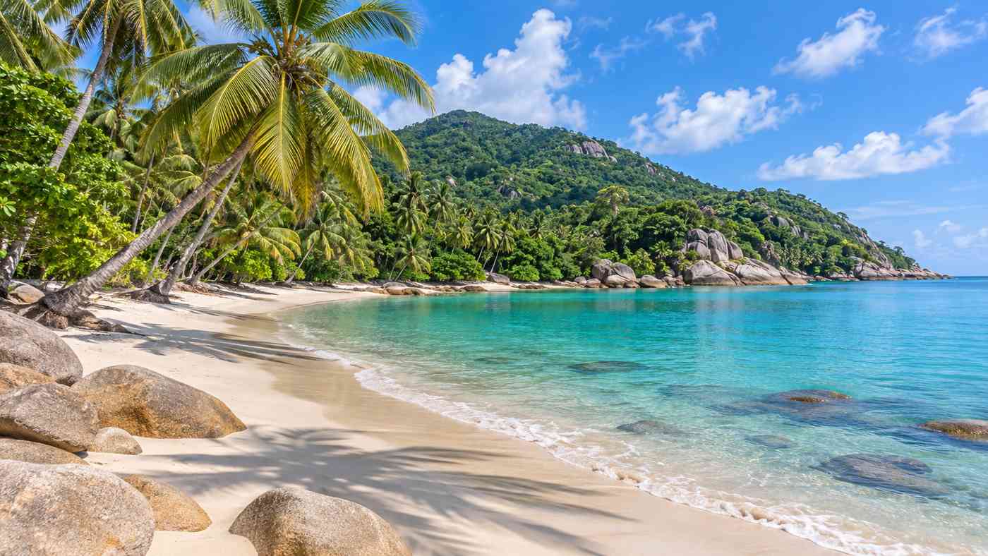
Samui at a glance
- Province: Surat Thani, southern Thailand.
- Area: about 229 km², around 25 km long and 21 km wide.
- Main town and port: Nathon, on the west coast.
- Airport: Samui International Airport (USM), Bo Phut.
- Driest months: January to April. Wettest: October to December.
- Language: Thai, with a local southern dialect. English is widely used in tourist areas.
After dark, Koh Samui’s beach clubs are only part of the picture; Koh Phangan’s Full Moon Party is a short boat ride away. To plan nights out in Thailand, start with Party Thailand, a guide to its cities, islands and parties.
How this guide works
Articles are written by the Samui Tourism Guide editors from public sources such as the Tourism Authority of Thailand, Thailand’s Department of National Parks, the Koh Samui city municipality, Wikipedia and Wikivoyage. We say where sources disagree, we date every article and we correct mistakes when readers point them out. Illustrations on this site are generated artwork, not photographs. Read more about this guide, or get in touch.