
In short: Ang Thong National Marine Park (officially Mu Ko Ang Thong National Park) is a group of 42 limestone islands in the Gulf of Thailand, about 20 to 30 km west of Koh Samui. It became a marine national park on 12 November 1980 and a Ramsar wetland in 2002. A day trip from Koh Samui usually visits Ko Mae Ko for the Thale Nai saltwater lagoon and Ko Wua Ta Lap for the park headquarters and a steep viewpoint trail, with kayaking and snorkelling between. The park usually closes to visitors in the stormy season from early November to mid-December.
Updated 20 November 2026 by Samui Tourism Guide editors
The Tourism Authority of Thailand calls Ang Thong a kayaking paradise and a day trip from Ko Samui, and for good reason: a short boat ride from Samui’s beaches brings you to steep, forested islands, hidden lagoons and quiet bays. This guide explains what the park is, what you see on a typical tour, when it is open and how to choose a trip. We checked the facts in November 2026. Fees and closure dates are set by Thailand’s Department of National Parks and can change.
Some terms. Mu Ko means “group of islands”, and Ang Thong means “bowl of gold”, according to Wikipedia. Thale Nai means “inner sea”, the name of the lagoon on Ko Mae Ko. A Ramsar site is a wetland of international importance listed under the Ramsar Convention.
What is Ang Thong National Marine Park?
The park covers about 102 km² of sea and islands, of which roughly 50 km² is land, says Wikipedia. Its 42 islands include Ko Phaluai, Ko Wua Ta Lap, Ko Mae Ko, Ko Sam Sao and many smaller rocks. The highest point, on Ko Phaluai, is 396 metres. The landscape is steep limestone, with caves, sinkholes and inland marine lakes. The park received 134,315 visitors in 2019.
Thailand’s Department of National Parks describes the park as lying in Ang Thong sub-district of Ko Samui district, about 20 km west of Koh Samui and Koh Phangan. It calls Thale Nai the only sea lagoon in the Gulf of Thailand and notes white-sand beaches and coral reefs on several islands. The Ramsar listing (site 1184, designated 14 August 2002) describes sandy beaches, rocky cliffs, coral reefs and young mangrove forests.
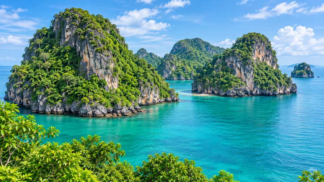
Ko Mae Ko and the Thale Nai lagoon
Ko Mae Ko, the “mother island”, holds Thale Nai, an emerald saltwater lake surrounded by limestone cliffs and linked to the sea through underwater caves, according to Thai National Parks. A trail of about 20 minutes, mostly steps, leads from the beach to a viewpoint above the water. Swimming in the lagoon is not allowed, to protect it. The view from the top is the photo most visitors take home.
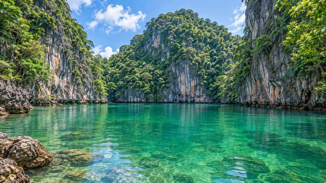
Ko Wua Ta Lap and the viewpoint
Ko Wua Ta Lap is the main island, with the park headquarters, a visitor centre, a beach, a restaurant and simple bungalows run by the park. Its viewpoint trail is about 500 metres long but very steep, with ropes for support, and takes around 25 to 30 minutes to climb, says Thai National Parks. From the top you look across the whole archipelago. Wear proper shoes rather than flip-flops, take water and allow time to come down slowly.
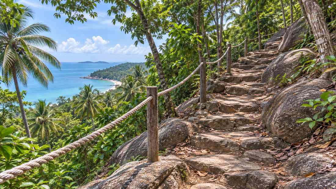
Kayaking, snorkelling and beaches
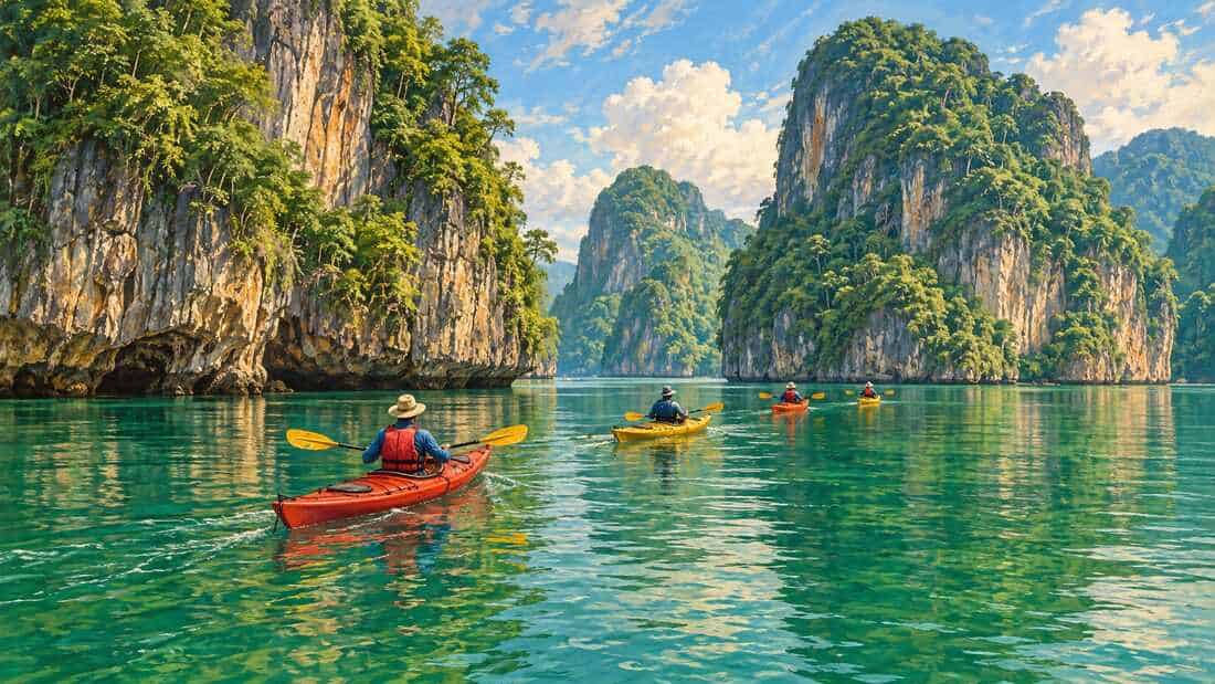
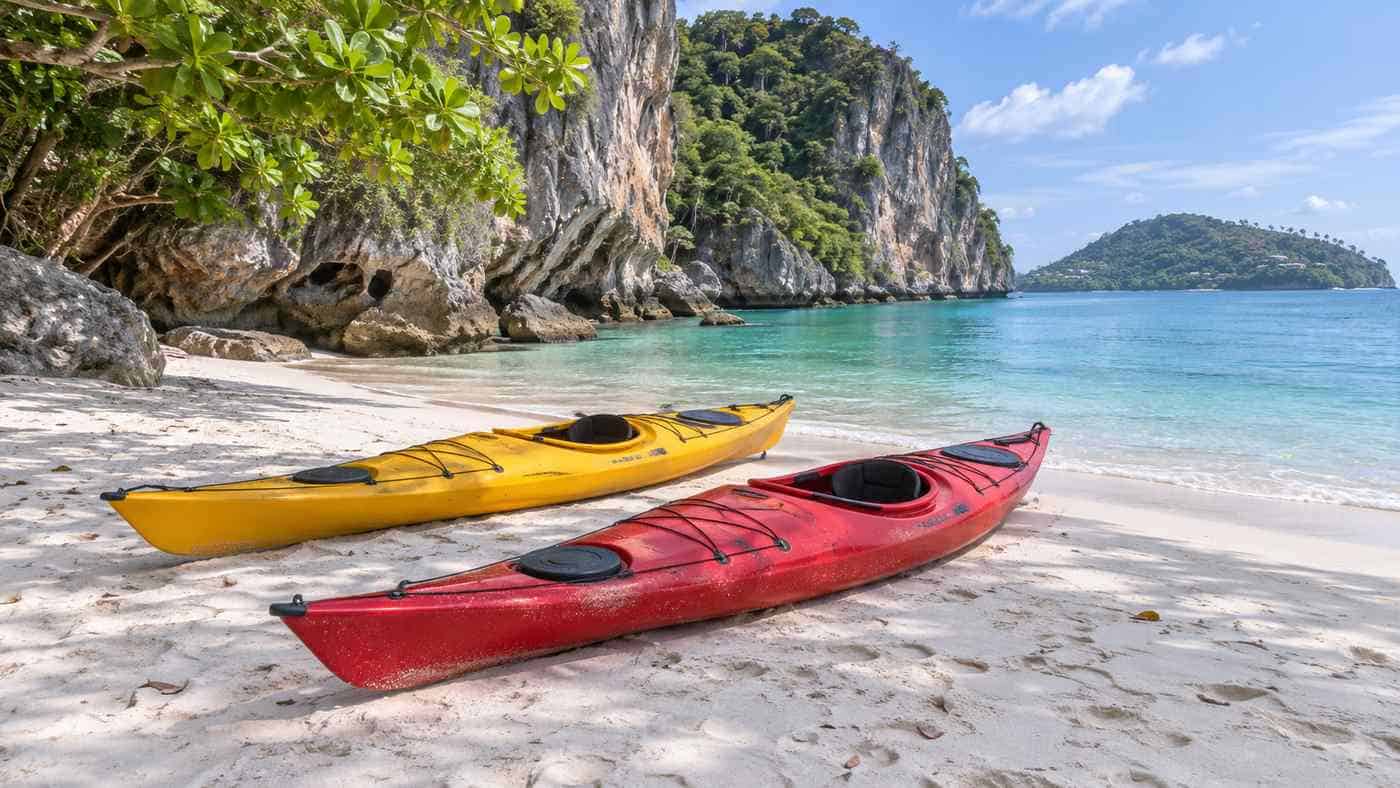
Most tours include time for sea kayaking round the cliffs and caves, often near Ko Sam Sao, and a snorkelling stop. Wikivoyage says the water at Ang Thong is clearer than off Samui itself, with visibility of 10 to 30 metres, which is why dive and snorkel trips head there. Coral cover varies, so do not expect a reef to match the Andaman Sea. Do not stand on coral or feed fish.
When is Ang Thong open?
The park is generally open from about mid-December to the end of October. Each year the Department of National Parks closes it during the north-east monsoon, when the Gulf is rough, and tour operators widely report the closure as running from 1 November to 15 December. Exact dates can shift with the weather, so check with your tour company. Even in the open season, trips can be cancelled on days with high waves.
The calmest seas are usually from February to April. Samui’s own weather pattern is explained in our guide to the best time to visit Koh Samui.
Fees and choosing a day trip from Koh Samui
A national park entry fee is charged on top of the tour price. Many operators and park listings give 300 baht for foreign adults and 150 baht for children at Ko Wua Ta Lap and Ko Mae Ko, usually collected in cash, but check the current rate when you book. Tours fall into three broad types:
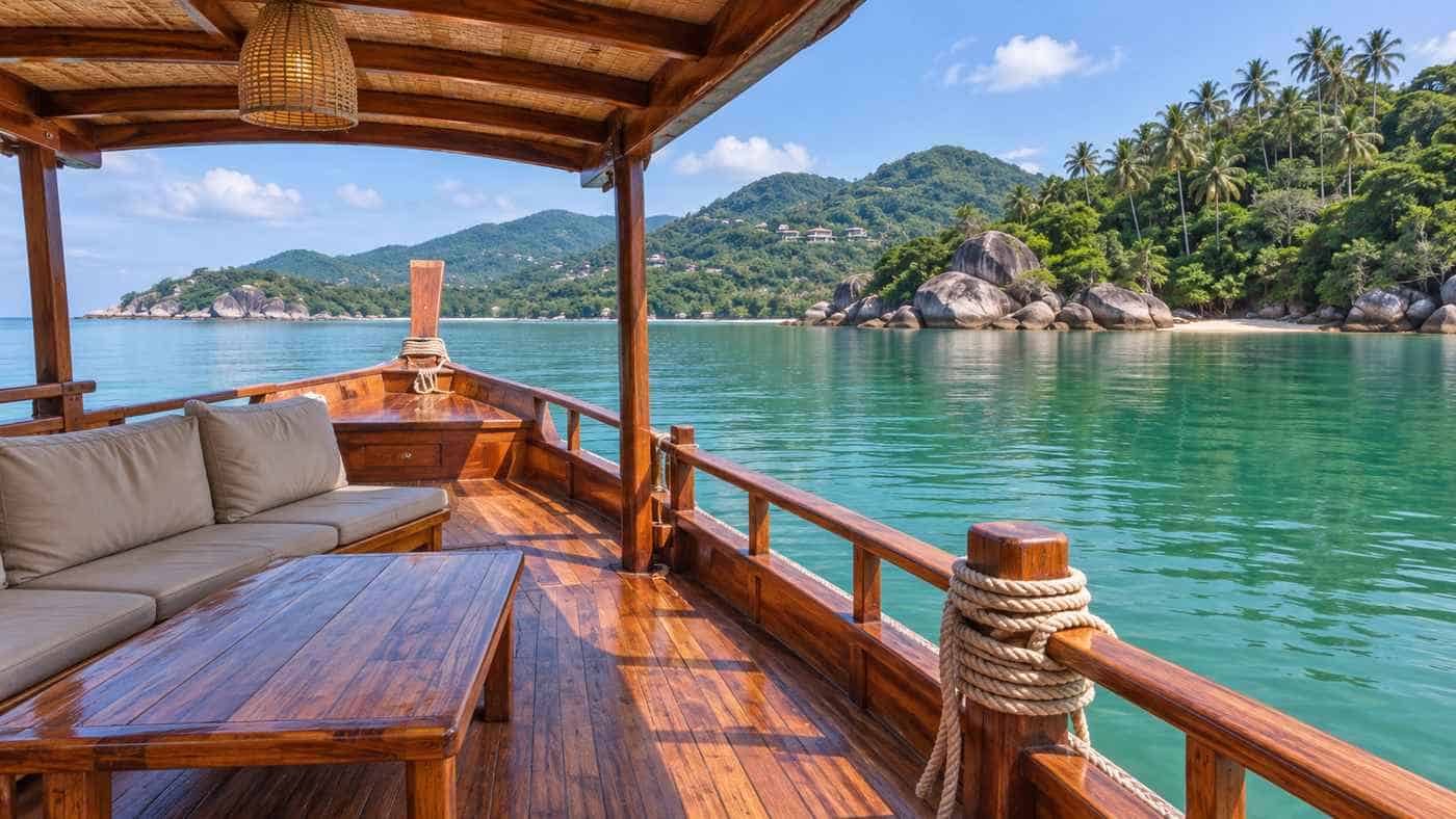
- Large boats: cheaper, slower, with lunch on board and fixed stops. Good for families.
- Speedboats: faster, with more time on the islands, but a bumpier ride.
- Private charters: the most flexible and the most expensive.
Most tours leave from piers on Samui’s west and north coasts in the morning and return in late afternoon. Check what is included: hotel transfers, lunch, kayaks, snorkel gear and the park fee. Some trips also leave from Koh Phangan. If you are still planning how to reach Samui, see our guide to getting to Koh Samui.
Staying overnight
The park runs bungalows at Ao Phi beach on Ko Wua Ta Lap, says Wikipedia. Staying the night means you can climb the viewpoint before the day boats arrive. Bookings are handled by the Department of National Parks, and overnight stays are not allowed during the closure.
Key takeaways
- Ang Thong is a marine national park of 42 islands, founded in 1980 and a Ramsar site since 2002.
- Thale Nai on Ko Mae Ko is a saltwater lagoon you view from above. Swimming in it is not allowed.
- The Ko Wua Ta Lap viewpoint trail is about 500 metres long, steep and roped.
- The park usually closes from early November to mid-December.
- The park fee is extra to the tour price. Bring cash.
For more to see on the main island, read our guide to Koh Samui attractions.
If you are planning a wider trip around the Gulf, a day in Ang Thong pairs well with a few days on Koh Samui itself, and the neighbouring islands are a short boat ride away: see our guide to the ferries from Koh Samui to Koh Phangan and Koh Tao.
Common questions
How far is Ang Thong from Koh Samui?
About 20 to 30 km, depending on the pier and island. The Department of National Parks says about 20 km, and Wikipedia about 28 km.
Can you swim in the Emerald Lake at Ang Thong?
No. Thale Nai is protected and visitors view it from a platform above the lagoon. You can swim at the park’s beaches instead.
When is Ang Thong Marine Park closed?
It usually closes from early November to mid-December during the monsoon. Operators commonly give 1 November to 15 December.
Is the Ang Thong viewpoint hard to climb?
It is short but steep, with rocky sections and ropes. Allow 25 to 30 minutes up and wear proper shoes.
What does Ang Thong mean?
Ang Thong means “bowl of gold” or “golden basin” in Thai, and Mu Ko means “group of islands”.
How we put this together: park facts come from the Department of National Parks, the Ramsar Sites Information Service, Wikipedia and Thai National Parks, and diving notes from Wikivoyage, read in November 2026. Fee and closure details are as commonly published by operators and park listings, and you should confirm them before travel. We do not sell tours.